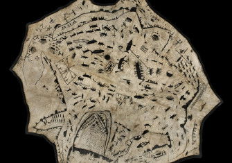
The Map: Granada, 1521
Kate Wiles highlights the Ottoman cartographer Piri Re’is and his charts, which blend navigation and art.
Ahmed Muhiddin Piri (1465/70-1553), was an Ottoman admiral and cartographer, better known as Piri Re’is (Re’is is a Turkish naval rank, akin to captain). He was the cartographer, in 1513, of one of the oldest surviving maps to show America, produced at the peak of the Ottoman Empire’s power. It was discovered in the old Imperial Palace in Constantinople in 1929 when the Turkish government, under Atatürk, catalogued its possessions in order to convert it into a museum. Only a third of the original map survives, which shows West Africa and central and eastern America. Marginal notes on the map explain that it is based on a map of the Indies by Christopher Columbus, although that map has not been found.


